Research Projects
Advancing flood resilience through innovative projects and hands-on research that delivers real-world impact for communities.
Featured Projects
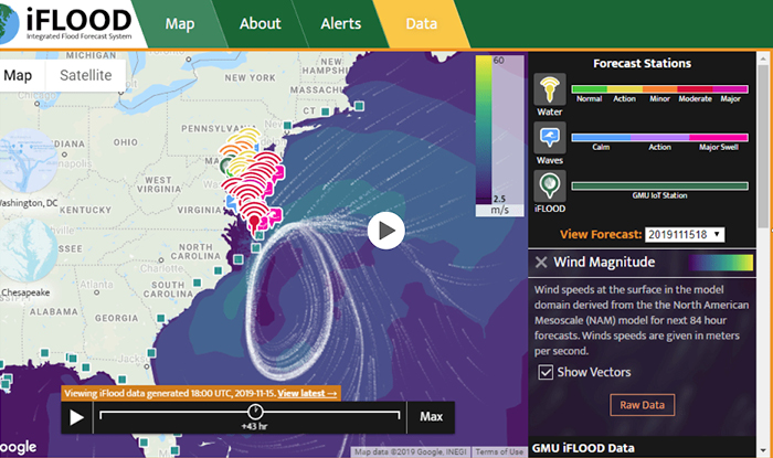
: iFLOOD Integrated Real Time Flood Forecasting
Should we expect flooding tomorrow? What are the flooding conditions impacting our region today?
- Driving Innovation (Research)
iFLOOD delivers real-time and future flood forecasts for Northern Virginia, the Chesapeake Bay, and beyond. This next-generation system integrates multi-scale physical processes—oceanic dynamics, estuarine hydrodynamics, riverine flows, urban runoff, and nearshore waves—into a unified forecasting framework. Designed as both a scientific experiment and an educational tool, iFLOOD supports decision-making and resilience planning by providing accurate, actionable flood intelligence.
George Mason University and NOAA VA Sea Grant Program
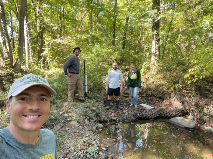
SmartFlow Living Lab: Engineering the Future through Experiential Learning and Stormwater
Transforming our campus into a living laboratory for stormwater infrastructure innovation and education.
- Future of Engineering (Teaching)
SmartFlow Campus Living Lab is transforming civil engineering education at Mason by creating a real-world, sensor-driven stormwater management platform. This initiative integrates advanced technologies and state-of-the-art sensors with experiential learning, enabling students to design infrastructure that is resilient to extreme events and aligned with natural water systems.
SmartFlow supports Mason’s Grand Challenge Initiative for Building a Climate-Resilient Society by fostering collaboration across academic units and providing hands-on opportunities for innovation in sustainability and infrastructure resilience. The program will deploy cutting-edge sensors to monitor campus stormwater performance, generate long-term data for advanced hydrological modeling, and embed these insights into civil engineering courses. By combining education, research, and community engagement, SmartFlow positions Mason as a regional hub for stormwater innovation—attracting investment, supporting local stakeholders, and preparing future engineers to lead in climate adaptation.
George Mason University
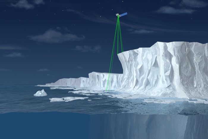
SHORE-BREAK: Assessing and Predicting Arctic Coastal Erosion Hazards with ICESat-2
Can satellites help us predict Arctic coastal erosion before it’s too late?
- Driving Innovation (Research)
The Arctic is warming at twice the global average, driving rapid sea-ice loss, permafrost thaw, and severe coastal erosion. These changes threaten communities, ecosystems, and infrastructure across Alaska, which holds 35% of the U.S. coastline. Traditional monitoring is difficult in this harsh, remote environment—but NASA’s ICESat-2 mission is transforming our ability to measure and understand these changes. ICESat-2 uses advanced laser altimetry to capture precise elevation data, enabling scientists to monitor coastal bluff retreat, barrier island erosion, and permafrost collapse with unprecedented accuracy. This project integrates ICESat-2 data with Earth system models to quantify and predict Arctic coastal erosion hazards. We validate satellite data, track seasonal and long-term changes, and simulate storm surges, wave-ice interactions, and permafrost dynamics under future climate scenarios. By combining cutting-edge satellite technology with modeling, we advance scientific understanding and deliver actionable insights for resilience planning—helping protect vulnerable Arctic communities and infrastructure from accelerating climate impacts.
PI: Celso Ferreira Co-PIs: Tom Ravens and Paul Houser
National Aeronautics and Space Administration (NASA)
Filter projects by type:
Current Projects
: iFLOOD Integrated Real Time Flood Forecasting
Should we expect flooding tomorrow? What are the flooding conditions impacting our region today?
- Driving Innovation (Research)
iFLOOD delivers real-time and future flood forecasts for Northern Virginia, the Chesapeake Bay, and beyond. This next-generation system integrates multi-scale physical processes—oceanic dynamics, estuarine hydrodynamics, riverine flows, urban runoff, and nearshore waves—into a unified forecasting framework. Designed as both a scientific experiment and an educational tool, iFLOOD supports decision-making and resilience planning by providing accurate, actionable flood intelligence.
George Mason University and NOAA VA Sea Grant Program
SmartFlow Living Lab: Engineering the Future through Experiential Learning and Stormwater
Transforming our campus into a living laboratory for stormwater infrastructure innovation and education.
- Future of Engineering (Teaching)
SmartFlow Campus Living Lab is transforming civil engineering education at Mason by creating a real-world, sensor-driven stormwater management platform. This initiative integrates advanced technologies and state-of-the-art sensors with experiential learning, enabling students to design infrastructure that is resilient to extreme events and aligned with natural water systems.
SmartFlow supports Mason’s Grand Challenge Initiative for Building a Climate-Resilient Society by fostering collaboration across academic units and providing hands-on opportunities for innovation in sustainability and infrastructure resilience. The program will deploy cutting-edge sensors to monitor campus stormwater performance, generate long-term data for advanced hydrological modeling, and embed these insights into civil engineering courses. By combining education, research, and community engagement, SmartFlow positions Mason as a regional hub for stormwater innovation—attracting investment, supporting local stakeholders, and preparing future engineers to lead in climate adaptation.
George Mason University
SHORE-BREAK: Assessing and Predicting Arctic Coastal Erosion Hazards with ICESat-2
Can satellites help us predict Arctic coastal erosion before it’s too late?
- Driving Innovation (Research)
The Arctic is warming at twice the global average, driving rapid sea-ice loss, permafrost thaw, and severe coastal erosion. These changes threaten communities, ecosystems, and infrastructure across Alaska, which holds 35% of the U.S. coastline. Traditional monitoring is difficult in this harsh, remote environment—but NASA’s ICESat-2 mission is transforming our ability to measure and understand these changes. ICESat-2 uses advanced laser altimetry to capture precise elevation data, enabling scientists to monitor coastal bluff retreat, barrier island erosion, and permafrost collapse with unprecedented accuracy. This project integrates ICESat-2 data with Earth system models to quantify and predict Arctic coastal erosion hazards. We validate satellite data, track seasonal and long-term changes, and simulate storm surges, wave-ice interactions, and permafrost dynamics under future climate scenarios. By combining cutting-edge satellite technology with modeling, we advance scientific understanding and deliver actionable insights for resilience planning—helping protect vulnerable Arctic communities and infrastructure from accelerating climate impacts.
PI: Celso Ferreira Co-PIs: Tom Ravens and Paul Houser
National Aeronautics and Space Administration (NASA)
The Virginia Climate Center
A Resilient, Healthy, Sustainable Virginia
- Community Impact (Translation), Driving Innovation (Research)
We work to enhance Virginia’s resilience to the impacts of climate variability and climate change.
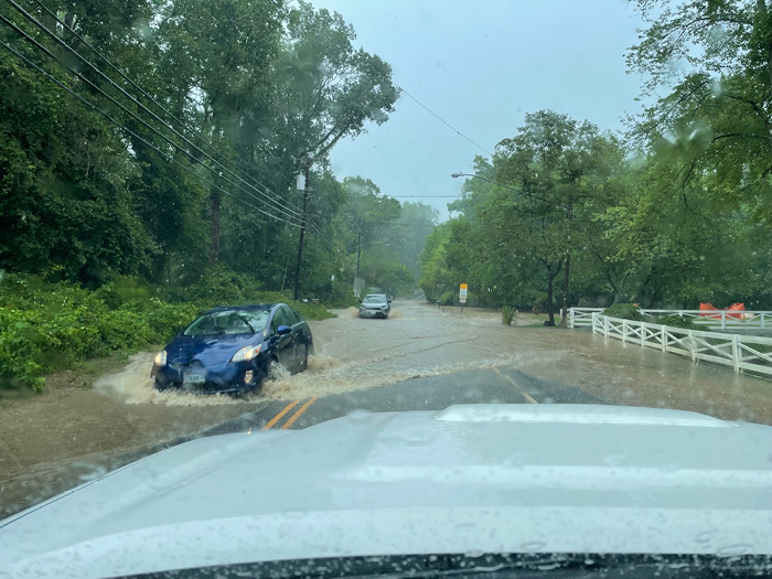
Extreme heat, flooding, and increased risk of vector-borne disease pose threat to the integrity of Virginia’s infrastructure, economy, culture, and to the health of all Virginians. The Virginia Climate Center (VCC) works with Virginia’s communities to meet these challenges and prevent future harm. VCC’s research priorities include assessing Virginia’s vulnerabilities to a changing climate and identifying “hot spots” in which people are particularly at risk. Together with our partners, we aim to create a Commonwealth in which Virginians are prepared and can thrive.
Lead PI Jim Kinter. Co-PIs Celso Ferreira, Luis Ortiz and Ed Maibach.
National Oceanic and Atmospheric Administration (NOAA)
Developing Arctic Coastal Protection Solutions with Alaska Native Communities
Blending traditional knowledge with innovation to protect Arctic coasts.
- Community Impact (Translation), Driving Innovation (Research)
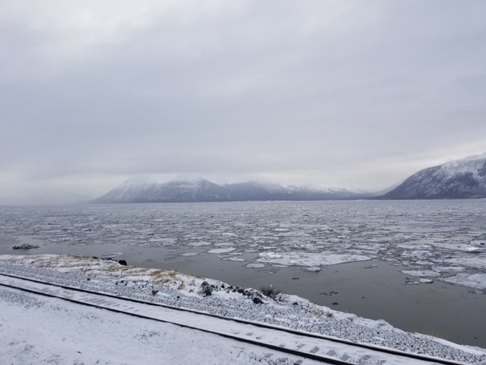
Arctic coastal communities face severe challenges from thawing permafrost, sea ice loss, and increasing storm impacts, making traditional protection methods difficult. This project co-produces nature-based infrastructure (NI) solutions with Alaska Native communities, blending traditional knowledge with advanced modeling to reduce flood risk and strengthen resilience. Through participatory workshops, field monitoring, and scenario-based modeling, the team will evaluate NI effectiveness and explore adaptation strategies tailored to Arctic conditions. The work also builds local capacity through training and knowledge-sharing, ensuring solutions are culturally grounded and sustainable.
Led by Celso Ferreira (George Mason University), Davin Holen (Alaska Sea Grant, University of Alaska Fairbanks), Tom Ravens and E. Lance Howe (University of Alaska Anchorage), and Nora Nieminski (Alaska Division of Geological & Geophysical Surveys).
National Oceanic and Atmospheric Administration (NOAA)
ART: Translating Research to Practice to Accelerate Grand Solutions
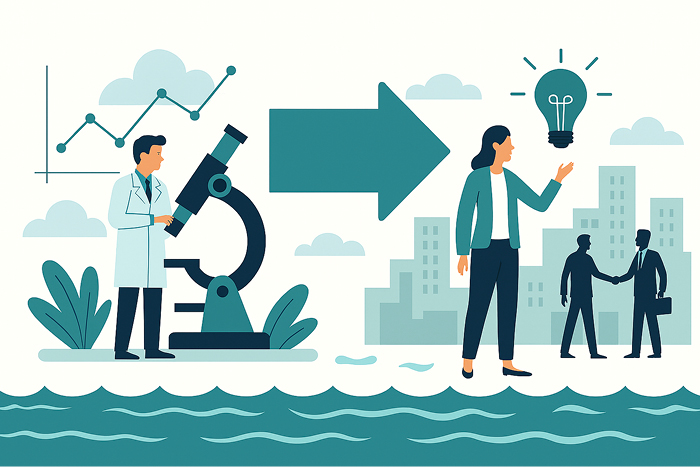
How do we turn groundbreaking research into real-world solutions?
- Community Impact (Translation), Driving Innovation (Research)
George Mason University’s Accelerating Research Translation (ART) initiative turns cutting-edge research into real-world solutions. Through the Grand Challenge Initiative, we amplify scholarship, talent, and partnerships to scale societal impact. ART provides outreach, training, mentoring, and seed funding to help researchers identify strategies for translating discoveries into practice. Our goals: 1) Accelerate research translation into actionable solutions; 2) Foster a culture that embraces impact-driven research; 3) Build a skilled workforce ready to lead translational efforts.
Programming includes community engagement, a modified Lean Launchpad for seed projects, and training for use-inspired scientists committed to making research matter.
Leah Nichols Co-PIs: Celso Ferreira, Jim Kinter and Luis Ortiz
National Science Foundation (NSF)
Promoting innovative transformational coastal adaptation in collaboration with underserved communities
Harnessing nature to defend Maryland’s coasts from rising seas.
- Community Impact (Translation), Driving Innovation (Research)
The Chesapeake Bay region faces some of the fastest rates of sea level rise in the U.S., creating urgent challenges for coastal communities. This project promotes Nature-based Solutions (NBS) as innovative alternatives to traditional hard infrastructure, integrating natural systems into flood mitigation strategies.
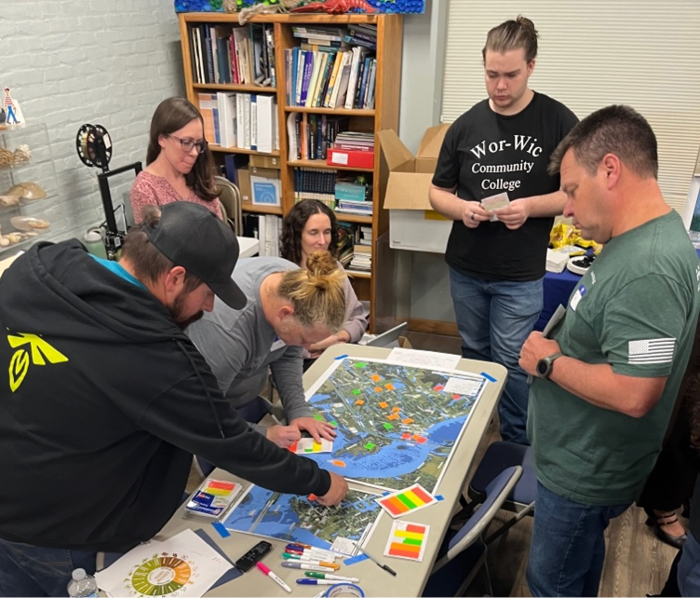
Our team combines advanced hydrodynamic and wave modeling with cost-benefit and ecosystem services analysis to evaluate adaptation options under future climate scenarios. Working closely with local stakeholders, we aim to simplify complex modeling, align community goals with resilience planning, and support applications to major federal funding programs like FEMA BRIC and NFWF NCRF.
Expected outcomes include maps of flood risk under different strategies, cost-benefit analyses, ecosystem service metrics, and practical design standards for NBS. By bridging science, policy, and community priorities, this project empowers Maryland’s coastal communities to implement transformational adaptation strategies that protect people, infrastructure, and ecosystems.
PI: Celso Ferreira; Co-PIs: Margaret Walls, Nicole Carlozo and Joseph Galarraga
National Oceanic and Atmospheric Administration (NOAA)
Flood Hazards Engineering CEIE course
Training tomorrow’s engineers to innovate and design resilient water systems
- Future of Engineering (Teaching)
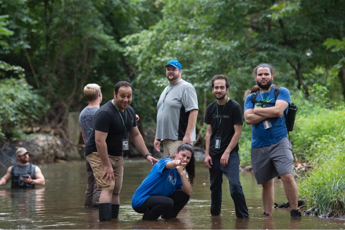
America’s communities and infrastructure are threatened by extreme weather events. Flooding is one of the leading natural hazards causing widespread infrastructure damage around the US and the world, and extreme events result in numerous losses of human life every year. Civil and environmental engineers are at the forefront of building a better and more resilient future. Through George Mason’s CEIE 445/645 Flood Hazard Engineering and Adaptation course—developed under the NSF ART Seed Translational Research Project (STRP) Program—students collaborate with Virginia communities to analyze localized flood risks and design actionable resilience strategies. Using advanced models from the Virginia Department of Conservation, students produce tailored case studies that assess current and future pluvial, tidal, and sea-level rise risks, supporting informed decision-making for infrastructure and adaptation planning.
National Science Foundation (NSF)
Arlington Flow Monitoring Program: Supporting Urban Flood Resilience
Turning data into action for urban flood resilience.
- Community Impact (Translation)
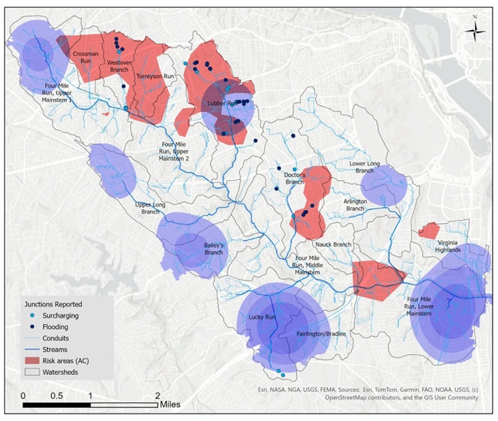
Inland urban floods have been a recurring issue in Arlington County, primarily driven by stormwater events. The occurrences of brief but intense rainfall events in 2006, and the summers of 2018 and 2019, led to flash flooding and substantial property loss. In response to these challenges, the county initiated numerous stormwater management projects, including the 4 Mile Run Flood Channel Dredging and the Ballston Wetland Project. Consequently, in 2024, Arlington County proposed a collaborative partnership with George Mason University’s Flood Hazards Research Lab, led by Dr. Celso Ferreira, to establish the Arlington Flow Monitoring Program. The program’s overarching objective is to manage and understand flood events and risk within Arlington’s communities, achieved through the following specific goals: 1. Develop and calibrate hydrologic/ hydraulic model (i.e., SWMM); 2. Identify potential flood conditions under current and future scenarios; 3. Monitor, analyze and collect data on weather patterns, such as rainfall intensity, duration, and frequency (IDF); 4. Asses and plan for future impacts due to climate change on infrastructure
Virginia Climate Center / National Oceanic and Atmospheric Administration (NOAA)
Past Projects
Collaborative Research: NSF R2I2: Alaska Innovation Incubator for Resilient and Smart Infrastructure in Extreme and Changing Environments
Driving innovation for resilient Arctic communities.
- Driving Innovation (Research)
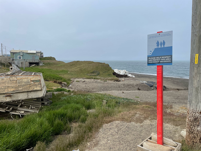
This project envisions a resilient and sustainable Arctic, focusing on Alaska’s coastal and interior infrastructure. Working with Indigenous communities, industry, and government, we co-develop solutions to challenges like permafrost degradation, erosion, and flooding. Our approach combines advanced research with local knowledge to design technologies and strategies that strengthen community well-being, economic competitiveness, and national security.
Phase 1 will identify priority solutions, data gaps, and technology requirements, while building partnerships and conducting techno-economic analyses to ensure feasibility. The ultimate goal: a secure Arctic region prepared for environmental change.
Elise Miller-Hooks Co-PIs: Celso Ferreira, Xijin Zhang
National Science Foundation (NSF)
City of Fairfax
Mapping tomorrow’s floods today for smarter planning.
- Community Impact (Translation)
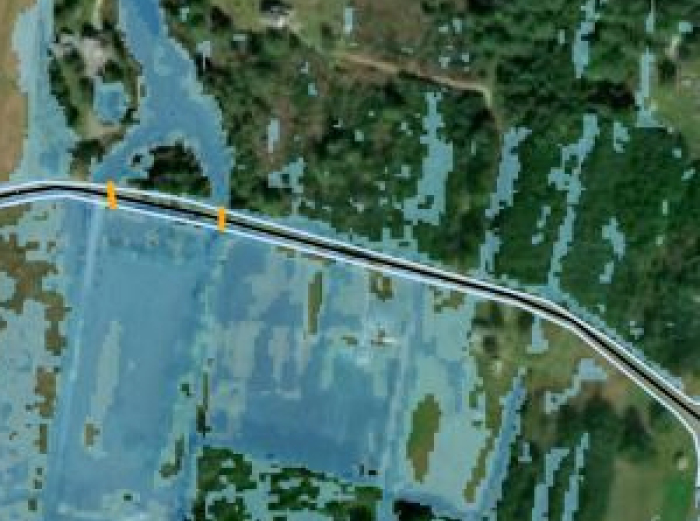
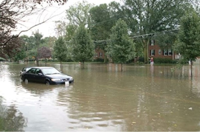
This project provides a preliminary overland flood model for the City of Fairfax using the most recent Fairfax LiDAR data under various model scenarios to understand local flooding patterns. This project will update the City of Fairfax’s maps from the former DCR model to provide more accurate flood modeling to better inform the city’s strategic planning for flood resilience.
Virginia Climate Center / National Oceanic and Atmospheric Administration (NOAA)
Fairfax County flood study
Can wetlands move fast enough to protect our homes?
- Community Impact (Translation)
Investing in Wetland Migration: Valuing Nature-based Flood Protection in Belle Haven, VA: Wetland migration is the natural inland shift of wetlands in response to changes in sea level. Wetlands are crucial for protecting built infrastructure against flooding. A phenomenon called “coastal squeeze” occurs when obstructions block wetland migration and cause them to shrink or disappear over time. Fairfax County asked the Flood Hazards Research Lab at GMU to analyze how many properties in the Belle Haven area are being impacted by wetland migration and how many of those homes are repetitive flood loss properties. Further, to discover the feasibility of harnessing the natural process of wetland migration as a nature-based flood protection method for this residential area.
Virginia Climate Center / National Oceanic and Atmospheric Administration (NOAA)
Septic to Sewer? Justice-focused strategies for addressing coastal septic failures under sea-level rise and increased flooding
Can septic systems survive the next flood?
- Community Impact (Translation), Driving Innovation (Research)
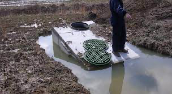
Rural coastal communities face growing risks from failing septic systems as flooding and sea-level rise accelerate. These failures threaten public health, property values, and water quality—especially in historically underserved areas. This project combines flood modeling, soil analysis, and policy evaluation to identify solutions that reduce health hazards and improve resilience. Working with community partners, we collect data on septic health, assess saltwater impacts on nutrient transformation, and evaluate sewer access economics. Our goal is to develop actionable strategies and policy recommendations that address technical challenges and historic inequities—ensuring safer, healthier futures for vulnerable populations.
PI: Allison Reilly Co-PIs: Celso Ferreira, Rachel Rosenberg Goldstein Birthe Kjellerup Andrew Lazur Yanjun (Penny) Liao Vikki Prettyman Margaret Walls
US Environmental Protection Agency (EPA)
Shoreline Transformational Adaptation: Forward Looking Nature-based Climate Resilience
Living with more water—designing the next generation of coastal protection
- Driving Innovation (Research)
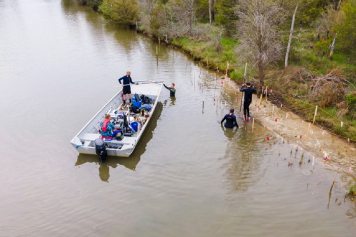
Virginia’s coastlines face chronic flooding and erosion, demanding bold solutions. This project develops nature-inspired coastal protection systems that combine engineering innovation with sustainable design. By validating RISE Challenge concepts and creating forward-looking strategies, we aim to scale resilient alternatives that withstand extreme events and future climate conditions—helping communities adapt and thrive.
PI: Celso Ferreira
National Oceanic and Atmospheric Administration (NOAA) and NOAA Virginia Sea Grant
Center for Resilient and Sustainable Communities (C-RASC)
Building resilience through science, engineering, and collaboration
- Driving Innovation (Research)
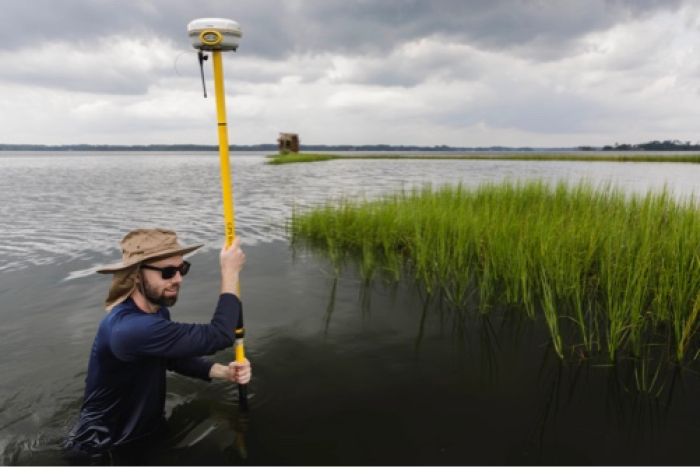
The Center for Resilient and Sustainable Communities (C-RASC) is a joint research center between the College of Engineering and Computing and the College of Science at George Mason University (Mason). It was originally established in 2020 through support from the Provost’s Office and the Volgenau School of Engineering.
C-RASC is a transdisciplinary initiative that supports communities around the world in co-developing resilience strategies that are locally led, scalable, and impact-driven.
PI: Paul Houser; Co-PIs: Celso Ferreira, Lance Sherry
George Mason University
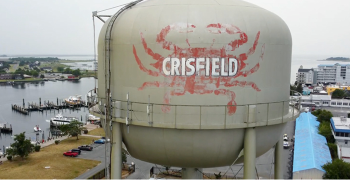
Staying Afloat: Assessing the long-term financial impacts of sea level rise adaptation solutions in a historic coastal community (Crisfield, MD)
Charting a resilient future for Crisfield
- Community Impact (Translation)
Crisfield, Maryland faces rising tides and frequent nuisance flooding that threaten homes, businesses, and community well-being. This project, led by Mason, TNC, and UMD-EFC, partners with local leaders to evaluate the costs, benefits, and feasibility of flood mitigation strategies. Through collaborative planning and a community-based decision support tool, we help Crisfield adapt to climate challenges and build a stronger, more vibrant future.
PI: Elizabeth Van Dollah Co-PIs: Celso Ferreira, Jennifer Egan
National Oceanic and Atmospheric Administration (NOAA)
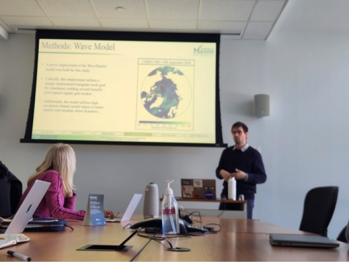
NNA Track 1: Arctic impacts and reverberations of expanding global maritime trade routes
- Driving Innovation (Research)
PI: Elise Miller Hooks Co-PIs: Celso Ferreira, Sara Cobb, Tom Havens and Anne Garland
National Science Foundation (NSF)
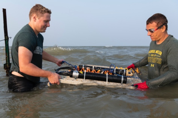
Natural and Nature-Based Coastal Defenses: Closing the Gap on the Potential Protection from Marshes in the US East Coast
Harnessing marshes to protect our coasts
- Driving Innovation (Research)
This project, part of the U.S. Coastal Research Program and the DUNEX experiment, investigates how marshes and other natural features reduce storm surge and wave impacts along the U.S. East Coast. By measuring hydrodynamic conditions and vegetation characteristics during extreme events, we provide field-based evidence to help coastal communities and agencies safely and cost-effectively rely on nature-based solutions for flood resilience.
PI: Celso Ferreira
US Army / US Coastal Research Program
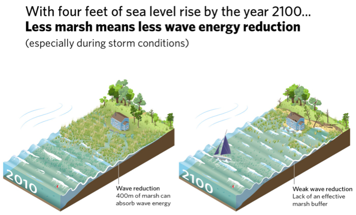
EESLR 2019 Quantifying the benefits of natural and nature-based features in Maryland’s Chesapeake and Atlantic Coastal Bays to inform conservation and management under future sea level rise scenarios
Maryland’s Chesapeake Bay region faces one of the fastest rates of relative sea level rise in the U.S., threatening communities and ecosystems. This project quantifies the flood protection benefits of natural and nature-based features (NNBF)—such as marshes and submerged aquatic vegetation—along Maryland’s coastal bays.
- Community Impact (Translation), Driving Innovation (Research)
Our team will measure hydrodynamic conditions, model wave attenuation under current and future scenarios, and calculate the economic value of these natural defenses. Results will inform conservation tools, restoration priorities, and adaptation strategies, helping state and local partners integrate NNBF into resilience planning.
Through collaboration with federal, state, and local stakeholders, we aim to deliver actionable science that strengthens coastal ecosystems, protects infrastructure, and supports community resilience in the face of rising seas.
PI: Celso Ferreira Co-PIs: Michelle Canick, Nicole Carlozo and Rebecca Golden
National Oceanic and Atmospheric Administration (NOAA)
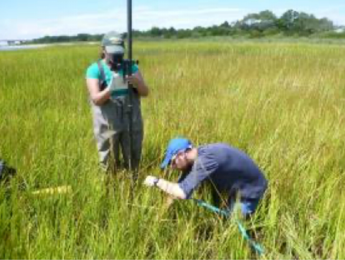
Hazards SEES Type 2: In hot water and harm’s way: modeling to promote regional resilience to repeated heat waves and hurricanes
Turning repeated hazards into resilience
- Driving Innovation (Research)
Communities facing hurricanes and heat waves often lack tools to understand interconnected risks. This project develops the Integrated Hazard, Impact, and Resilience Model to assess how repeated extreme events affect regional vulnerability and resilience. Using systems modeling and interdisciplinary expertise—from climate science to public health—we aim to provide actionable strategies that help regions prevent repeated hazards from becoming repeated disasters.
PI: Seth Guikema (University of Michigan) Co-PIs: Robin Dillon-Merril (Georgetown University), Celso Ferreira (George Mason University), Tony Dalrymple (Johns Hopkins University, Margaret Walls (Resources for the Future), Katie O’Meara (Maryland Institute College of Art), Benjamin Zaitchik (Johns Hopkins University), Brooke Anderson (Colorado State University) and Tak Igusa (Johns Hopkins University)
National Science Foundation
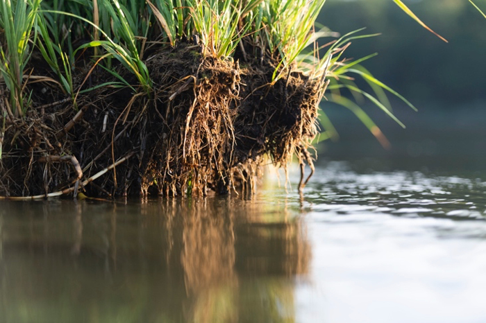
Protecting Virginia from hurricane storm surge with wetlands ecosystems: can nature help to reduce hurricane flood risk?
Nature’s shield: wetlands against storm surge
- Driving Innovation (Research)
Hurricanes cause devastating storm surge flooding along Virginia’s coast and Chesapeake Bay. This project uses high-performance computing and field data to evaluate how coastal wetlands reduce surge impacts and protect infrastructure. By quantifying these benefits, we provide science-based guidance for restoration projects and resilience planning—helping communities harness nature to withstand future storms.
PI: Celso Ferreira
Jeffress Trust Awards Program in Interdisciplinary Research
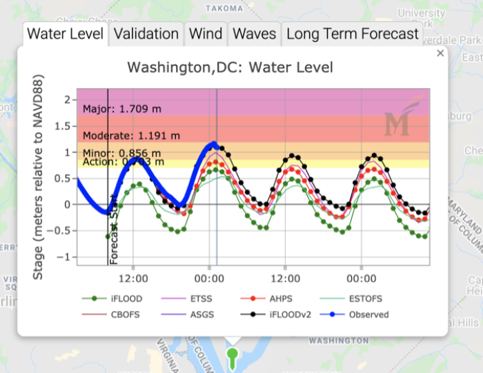
Multi-scale Multi-temporal approaches for advancements in the Real-Time Total Water Flood Forecasting
Forecasting the Future of Floods—From Storm Surge to Sub-X
- Driving Innovation (Research)
This project enhances flood forecasting capabilities in the Chesapeake Bay and Tidal Potomac River by integrating complex coastal and riverine processes—including storm surge, swells, Gulf Stream effects, and sea level rise—into the iFLOOD system. In collaboration with the National Weather Service, the research aims to close operational forecasting gaps and extend predictive guidance up to four weeks using experimental Sub-X products. The goal is to empower communities with accurate, timely flood information and support resilient coastal planning.
PI: Celso Ferreira
NOAA Virginia Sea Grant College Program
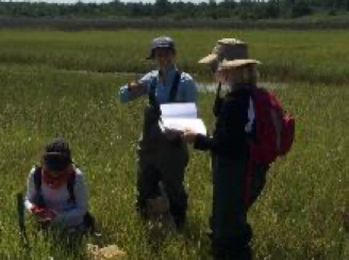
Quantifying storm surge attenuation by wetlands
Wetlands at Work: Nature’s Defense Against Coastal Flooding
- Community Impact (Translation), Driving Innovation (Research)
In collaboration with the U.S. Geological Survey (USGS), this project develops a comprehensive framework to quantify the protective role of coastal wetlands against storm surge and wave energy. Through extensive field-based monitoring across four representative sites in the Chesapeake Bay—including Magothy Bay and the Eastern Shore of Virginia Wildlife Refuge—the study captures hydrodynamic data from major tropical cyclones since 2015. Seasonal vegetation surveys and high-resolution modeling (including XBeach integration) reveal that wetlands can attenuate hurricane-induced waves within 150 meters, though surge attenuation decreases with higher inundation. These findings support the transferability of empirical models to other saltmarshes and inform resilience strategies for agencies such as Maryland DNR, U.S. Fish and Wildlife Service, and the Department of the Interior. The project provides science-based tools to guide coastal protection policy and planning under rising sea levels and intensifying storms.
PI: Celso Ferreira; Co-PIs: Jud Harvey and Jay Choy (USGS)
US Department of the Interior (DOI) & National Fish and Wildlife Foundation (NFWF)
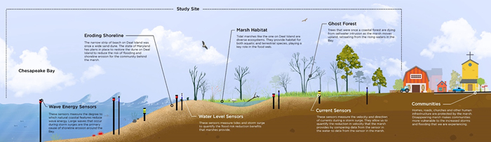
Wave attenuation by wetlands in MD
Somerset’s Living Barriers: Science Behind Marsh-Based Resilience
- Driving Innovation (Research)
This project investigates the flood and wave attenuation capacity of two marshes in Somerset County, Chesapeake Bay. Through year-long field monitoring—including water levels, wave energy, and vegetation dynamics—the study aims to quantify how these lower-energy marshes mitigate tidal flooding and storm surge. Data will be collected using pressure transducers, topo-bathymetric surveys, and seasonal vegetation assessments. The results will inform numerical modeling of nearshore processes and support the integration of marshes into coastal protection strategies.
PI: Celso Ferreira
The Nature Conservancy
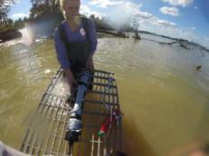
Coastal Resilience in Virginia
Mapping Marsh Value: Where Nature Meets Economics in Flood Protection
- Driving Innovation (Research)
This project develops a novel framework that integrates high-resolution storm surge and wave modeling with economic analysis to quantify the protective value of coastal wetlands. As climate change intensifies hurricanes and accelerates sea level rise, the role of natural features like marshes in mitigating flood impacts becomes increasingly critical. By analyzing physical interactions between representative marshes and storm surge at the local scale, and linking these with county-level property data, the study estimates the economic benefits of wetland-based flood attenuation. In collaboration with conservation organizations and state-level resilience planners, the project supports updates to coastal resiliency assessments and informs policy and restoration strategies. The research directly contributes to Virginia Sea Grant’s focus areas of Healthy Coastal Ecosystems and Resilient Coastal Communities.
PI: Celso Ferreira
NOAA Virginia Sea Grant College Program
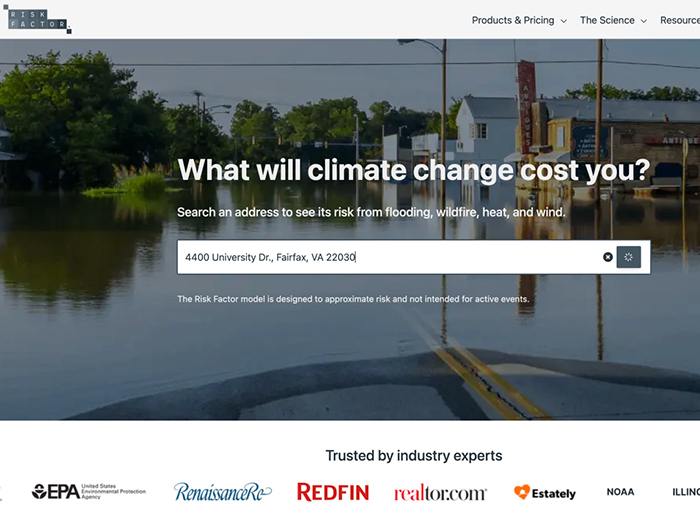
Towards the next generation of US historical coastal flooding record: Hydrodynamic modeling of historical storm surges
Modeling the Past to Predict the Future: The Science Behind Flood Factor
- Driving Innovation (Research)
This project developed the historical storm surge and wave modeling framework that served as the scientific foundation for the original Flood Factor product by First Street Foundation. Leveraging high-resolution hydrodynamic simulations, the research reconstructed past tropical cyclone events and their associated coastal flooding impacts across the U.S. shoreline. The modeling incorporated storm surge, wind waves, and sea level rise scenarios to generate probabilistic flood risk profiles at the parcel level. These simulations were calibrated using historical data and validated against observed flood extents, providing a robust basis for nationwide flood risk communication. The work enabled First Street to deliver personalized flood risk scores to millions of property owners, integrating science-based hazard modeling into public awareness and policy discussions.
PI Celso Ferreira
First Street Foundation
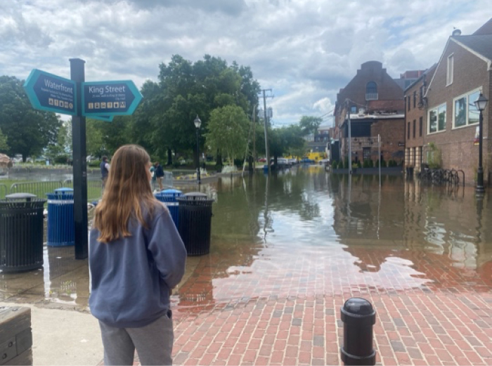
Combined Sewer Overflow Monitoring in Alexandria, Virginia
Overflow Under the Microscope: Tracking Stormwater Impacts in Alexandria
- Driving Innovation (Research)
This project integrates stormwater modeling with field-based sampling to monitor water quality during Combined Sewer Overflow (CSO) events in Alexandria, Virginia. By capturing real-time data during extreme rainfall events, the study evaluates pollutant loads and hydrodynamic behavior of overflow discharges. The approach combines predictive modeling with in-situ measurements to better understand the environmental impacts of CSOs and inform mitigation strategies. The findings support local efforts to improve urban water quality and enhance resilience to storm-driven pollution events.
Principal Investigator: Foster, Gregory; Co-PIs: Celso Ferreira and Chris Jones
Alexandria Renewal Enterprises

Cast the Net – An Adaptive Wireless Environmental Sensor-Web for Stormwater
Smart Storms: Real-Time Water Monitoring with Adaptive Sensor Networks
- Community Impact (Translation), Driving Innovation (Research)
This project proposes the development of an adaptive, hyper-resolution wireless sensor network (WSN) to monitor stormwater pollution during extreme weather events on George Mason University’s main campus. Building on previous initiatives like the GMU Educational Watershed and Stormwater in HD, the system will integrate geographically aware sensors with weather forecast models to dynamically adjust sampling protocols in response to rapidly changing conditions. The WSN will enhance real-time environmental monitoring, reduce uncertainty, and support emergency management. It also provides a hands-on research and educational platform for Mason students, while benefiting campus sustainability efforts, facilities management, and broader stakeholders including Dominion, EPA, and the GMU Foundation.
Dominion Higher Education Partnership
The Mason Water Data Information System (MWDIS): empowering data sharing and discovery at George Mason University and beyond
Sharing the Flow: A Smarter Way to Use Water Data at Mason
- Community Impact (Translation), Driving Innovation (Research)
Building on the CUAHSI-HIS framework for hydrologic data sharing, this project developed a university-wide system to support efficient data access, sharing, and discovery across George Mason University’s scientific community. The platform enables real-time access to hydrologic and environmental data, particularly during extreme events, enhancing situational awareness and collaborative research. Designed to promote data reuse and interdisciplinary investigations, the system serves as a centralized hub for managing and disseminating high-value datasets across departments and research teams.
4-VA: Universities Collaborating to Achieve Virginia’s Goals for Higher Education
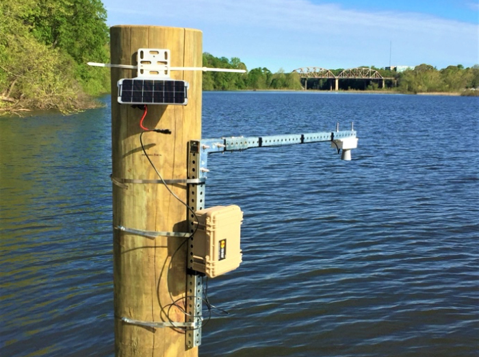
Stormwater in HD: Monitoring the Chesapeake Bay water quality one site at a time
One Drop at a Time: Tracking Pollution from Campus to Chesapeake
- Community Impact (Translation), Driving Innovation (Research)
Stormwater in HD is a hyper-resolution water quality monitoring initiative focused on understanding stormwater pollution during extreme weather events at George Mason University’s Fairfax campus. This project aims to collect high-quality, real-time data on water quality indicators such as turbidity, pH, dissolved oxygen, and pollutant concentrations. By monitoring seasonal and spatial variations across campus, the study will assess the effectiveness of Low Impact Development (LID) technologies, construction practices, and Best Management Practices (BMPs) in protecting water quality. The GMU campus serves as a critical site contributing to the Chesapeake Bay, making it an ideal location to evaluate stormwater impacts and inform sustainable infrastructure and watershed management decisions.
Dominion Higher Education Partnership
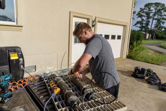
The insider’s view of the storm: A mobile extreme weather monitoring unit to integrate the Civil Engineering Laboratory at George Mason University
Storm Science in Motion: Tracking Weather, Training Engineers
- Driving Innovation (Research), Future of Engineering (Teaching)
To address the growing threat of extreme weather events in Virginia—including hurricanes, nor’easters, and severe storms—this project proposes the development of a mobile monitoring unit capable of collecting high-resolution field data in real time. Designed to track storms and assess vulnerable infrastructure such as power lines and bridges, the unit will enhance scientific understanding of storm impacts and support disaster resilience. It also serves as a hands-on educational tool, engaging undergraduate students in research and fieldwork through integration with George Mason University’s Civil Engineering Laboratory and core water resources engineering courses.
Dominion Higher Education Partnership